Geolytix Seamless Town & Suburb Boundaries
A common remark we get from clients is their surprise that there is no official published source of suburb/town/city boundary. 8 years ago, the first iteration of Geolytix’s Seamless Town and Suburb were created.

We all know the area we live, the place we are from and the town we work in; the answer could be the same for them all or different for each. We so frequently share these names with others to give insightful information about ourselves. However, these places do not have an official boundary as designated by official bodies but as identified by local people.
At a higher administration level, such as Counties and Regions, boundaries can easily be downloaded from online, saying you live in South Yorkshire or Yorkshire and The Humber gives vague locational context. At a lower administration level, such as Output Areas and Wards there are also official corresponding boundaries that can simply be downloaded from online but it would be unlikely you would tell someone you live in E00172481. Even wards with more recognisable names do not capture that local insight of naming conventions and their familiar coverage.
Whether people consider it or not they are regularly searching using place names; browsing properties for sale in a certain area you desire to live, looking for a holiday cottage in your favourite spot, ordering a pizza online and relying on it coming quickly from your closest branch, weighing up the distance they are willing to travel for that bargain eBay purchase and finding events and activities. All these searches are common occurrences and for many purposes the user in these scenarios is not concerned with the extent of said boundary but rely on precisely returned results to be generated seamlessly from the backend. Therefore, the data feeding these results should be as accurate and reflective as possible.
This established data set gives exactly that requested boundary and has been built from published open data sources, local insights, and feedback from its many users in varying sectors over the years. This popular and recognised data set is continually improved and updated ensuring it offers boundary definitions as they would be recognised by a local.
Seamless Towns consists of over 25,500 named boundaries with a current population count. This has full UK coverage made up like a jigsaw. ~750 of the largest towns (population of 20,000 or over) have been further split into suburbs. The full coverage means wherever is selected on a map has a town assigned so all the hinterland areas fall within a boundary which makes this ideal for searches. The data is a dynamic input into multiple property portals (OnTheMarket.com) and search engines, helping to define catchments for retailers and gazetteers.
If you would like to know more about licensing this product or any others please get in contact.
Louise Cross, Global Data
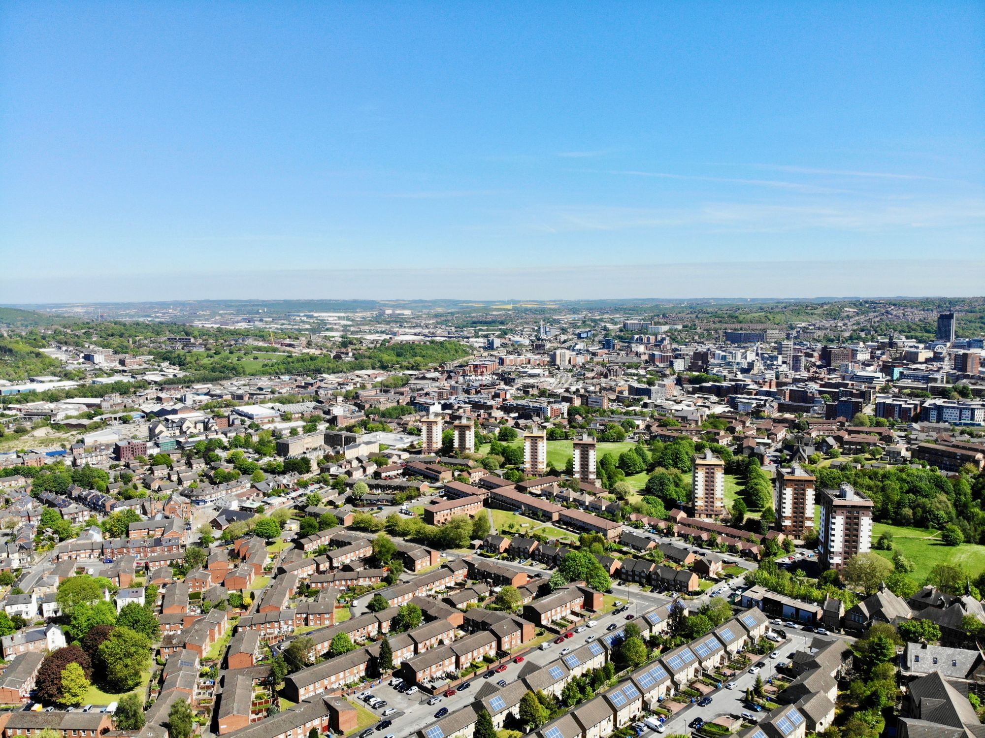
Photo by Benjamin Elliott on Unsplash
